
Finding Liberty Neighbors
A block search has several different records, each with a narrow role. Clay County GIS supplies parcel geometry, roads, lots, subdivisions, city limits, taxing and zoning context. The Clay County Assessor supplies a public card for a selected parcel and a deed reference where available. The Recorder holds recorded instruments, but its system is searched by party name, instrument, or book and page rather than street address. Historic maps and directories can add dated context when researching Liberty neighbors.
| Source | What It Shows About a Block | Access |
|---|---|---|
| Clay County GIS | Adjacent parcel geometry, roads, lots, subdivisions, and district context | Free map; click or select parcels; not the official record |
| Clay County Assessor | A selected parcel card, tax context, and deed reference where available | Free individual parcel search |
| Clay County Recorder | Recorded deed or plat chain for selected parcels | Party name or book/page search, not address search |
| Voter law and lookup | Statutory fields and precinct or ward context, not a public block roster | Personal lookup or election-authority route; commercial use is restricted |
| Archives and directories | Historical street occupants, businesses, notices, maps, and photographs | Catalog, on-site, or archive request; dates vary |
Parcel ownership and occupancy are different facts. A parcel card may identify a public owner record or mailing detail, but it does not establish every person at an address. A GIS neighbor is a spatial relationship only. [MYTH] A GIS neighboring parcel does not prove a social relationship.
Mapping Liberty Neighbor Parcels
Use a single address as the map starting point, then work outward only as far as the question requires. The GIS map can provide the parcel outline and nearby lots. Its city-limits, subdivision, lot, road, historic/context, and 2024 orthophoto layers can help orient a reader, but the GIS is not the official record and the city’s neighborhood map is not survey accurate. A specific parcel result is more reliable than a ZIP or a name alone when confirming location.
- Search the address in Clay County GIS and confirm the selected parcel rather than relying on a nearby label.
- Click only the surrounding parcels needed to understand the immediate block, noting parcel boundaries, lot or subdivision context, and the map date.
- Open the matching Clay County Assessor Parcel Search card for a parcel identifier, situs, tax context, and any deed reference.
- Use a verified party name or book/page lead in ClayDeeds when a recorded instrument or plat needs inspection.
- Record the source, map layer, retrieval date, and what remains uncertain before comparing an older directory or map.
The recorder’s address limit is important. [QUIRK] Clay Recorder indexes by party name, not address, so the Assessor or GIS result should provide the parcel and deed lead first. For a full street-by-street sequence rather than the immediate block, use the Liberty by street directory.
Liberty Neighbor Record Boundaries
The Assessor’s situs field is the property location. An owner mailing field serves a different purpose and should not be substituted for occupancy. The public parcel card can support a parcel, tax, or deed-reference statement. The recorder can support a recorded-instrument statement. Neither proves a household roster. Clay County also states that sales price is not public record, so a block narrative should not invent it from an index entry.
- Parcel
- A mapped unit of land used for property and tax administration. It is not a list of people.
- Situs
- The location of the property. It may differ from an owner’s mailing information.
- Recorded instrument
- A deed, plat, or other document indexed by the Recorder. The online index is not a certified record.
- Subdivision label
- A map or plat description that may help place a parcel, not proof of association membership.
Recorder hand-recorded books run from 1822 through 1986, its automated database began in 1986, and daily imaging began in August 1999. Internet access is described from 1968 to the present, while older books and non-indexed images may require office or portal navigation. That history explains why one Liberty block can have records in different places.
Liberty Neighborhood Map Names
Liberty’s 2021 draft informational neighborhood map supplies names, not a uniform legal-boundary system. It includes historic districts, subdivisions, HOA labels, and informal neighborhood names. Bent Oaks, Bowles Addition, Clay Meadows, Clay Ridge, Claywoods, College Place West, Creekwood, Dougherty Historic District, Hills of Oakwood, Homestead of Liberty, Middlemarch Estates, Parkview Meadows, Riverwood, South Valley Park, Timber Ridge, Westwoods, Whitehall Addition, and Withersfield appear in the inventory.
Some names describe a subdivision, some a historic district, and some an association. A name on a draft informational map does not establish membership, parcel inclusion, or a legal boundary. [GEOGRAPHY] The map is not survey accurate, so use a deed, plat, parcel map, or the relevant custodian for a boundary question.
Review the City of Liberty neighborhood resources for the city-supported organizations and informational map.
The city resource is useful for a map label or public organization route, but it does not publish a member directory for Liberty neighbors.
Liberty Neighborhood Contact Routes
Use publicly supplied organization channels, not assumptions about who belongs to a group. The city’s neighborhood page lists organizations and an informational map. The 2010 Jewell Neighborhood Handbook identifies Northland Neighborhoods Inc., Historic Downtown Liberty Inc., Historic Liberty, Dougherty Historic District Group, and College Place West HOA as historical organizing examples. Because handbook contacts may be stale, those names are historical references rather than a current contact or membership claim.
City Neighborhoods
Use the city’s public neighborhoods page for the informational map and any current organization links it provides.
City neighborhood resourcesNeighborhood Enhancement
A registered neighborhood or HOA must meet the city’s board, bylaws, membership, project, approval, and 25% match standard for the cited grant program.
Program contextHistoric Organizations
Use the Jewell handbook names as dated local-history leads, then verify any current organization through its own public channel.
Clay County ArchivesNeighborhood Watch materials describe recruitment, action plans, meetings, and phone trees. They do not create a public participant list. A group’s choice to publish a general contact does not authorize collection of household information.
Liberty Neighbor Voter Context
Missouri’s voter lookup is not a reverse-address roster. The state’s voter lookup is designed for a person’s registration check using registered-name data and other identifying fields. [HUMAN USE] Use it to check your own registration, then contact the Clay County Board of Elections for correction help. The research notes that Missouri voter data has statutory fields and a commercial-use prohibition.
RSMo §115.157 and RSMo §115.163 govern the voter-record framework. A precinct or ward can supply civic geography, but it does not identify all people on a block or confirm residency. Protected voter addresses and Safe at Home participants require special care. Do not attempt to reverse-engineer a substitute address.
Note: A voter result is personal registration information, not a tool for constructing a Liberty block roster.
Historic Liberty Neighbor Sources
A historic block needs dated sources. Clay County Archives has local city records, school material and photographs, Liberty-area newspapers, and telephone directories from 1929 through 1994 identified by the architectural survey. Missouri Digital Heritage lists Liberty Tribune blocks from 1846 through 1883, while the State Historical Society of Missouri selected index covers an earlier portion. A city directory, newspaper notice, map, water permit, or plat can establish a historical appearance at a place when the source and date are retained.
For a deceased-person or memorial trail, the City of Liberty cemetery map can search by last name or year of death, locate a plot, and print a map. The city says that map is updated monthly. Burial location is not last-residence proof, and an obituary or index should be checked for dates and spelling.
Use the Liberty cemetery search and plot map only for its documented memorial context.
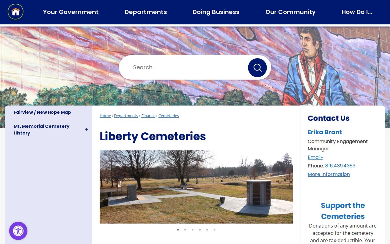
Fairview, New Hope, and Mt. Memorial are the city’s identified cemeteries. The map can support a plot-location lead, not a conclusion about a living household or a social connection on a block.
Liberty Neighbor Source Comparison
Official records and commercial neighbor-lookup tools answer different questions. A source should be judged by its custodian, date, field limits, and correction path. A category-level commercial result can be incomplete, stale, or hard to trace back to a source. For parcel and local-history work, the official portal or repository is the place to confirm the underlying record.
| Source category | Useful for | Important limit |
|---|---|---|
| Official parcel and GIS records | Parcel geometry, tax context, and source-specific property fields | They do not provide a household roster or prove personal relationships |
| Recorder and plat records | Recorded instruments tied to a verified party or book/page lead | Recorder searching is not by street address, and an index is not a certified copy |
| Archive and historical sources | Dated directory, map, newspaper, photograph, or cemetery context | Historical material does not establish current occupancy |
| Commercial lookup category | A possible lead that must be checked against an underlying source | Coverage, accuracy, source date, and correction route can be unclear |
The safer practice is simple: retain the original source URL, record date, and exact field used, then omit information that is not needed for the question. A missing result can reflect a protected, unindexed, or unavailable record rather than an absence of history.
Privacy Limits for Liberty Neighbors
Much of a block stays private. A map does not list renters, household members, utility accounts, delivery details, protected addresses, medical information, or sealed court material. Missouri’s Sunshine Law provides an access process, not blanket permission to combine records. Vital records have separate access rules. Missouri Safe at Home provides a substitute address for eligible survivors, and qualifying voter addresses can be protected.
If a Liberty property or map record appears wrong, ask the Assessor or GIS office for the record route. For an address authority issue, the Clay GIS FAQ routes city-limits addresses to the city and addresses outside city limits to County Planning and Zoning. A person should not be contacted, confronted, or identified from an uncertain record match.
Lawful use. Use Liberty neighbor records for personal, civic, historical, or property research, and never to track, harass, intimidate, or harm anyone.
Correcting Liberty Neighbor Records
Send a correction to the office that holds the record. The Assessor or GIS office handles parcel and map issues, while the Recorder is the correct route for a recorded-instrument question. A city or county custodian handles a specific public-record request. Under RSMo §610.023, a Missouri custodian must provide access, explain a delay, or cite the basis for a denial by the end of the third business day after receipt.
For an older block source, preserve the original wording and identify whether the concern is a transcription, name match, date, address, or map interpretation. If the original record does not settle it, leave the [RESEARCH GAP] in place. That is more accurate than silently rewriting a historical record.